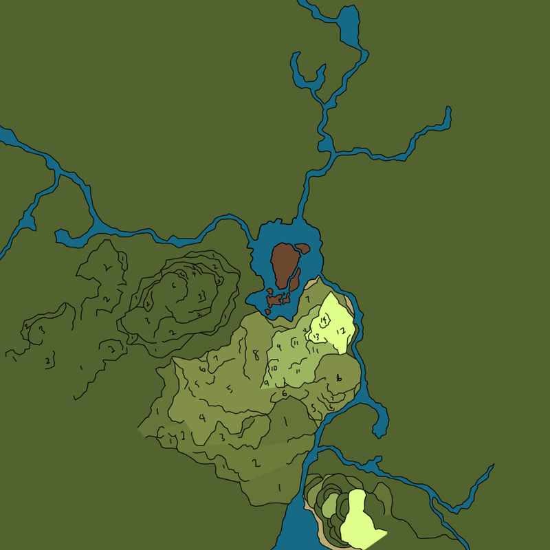
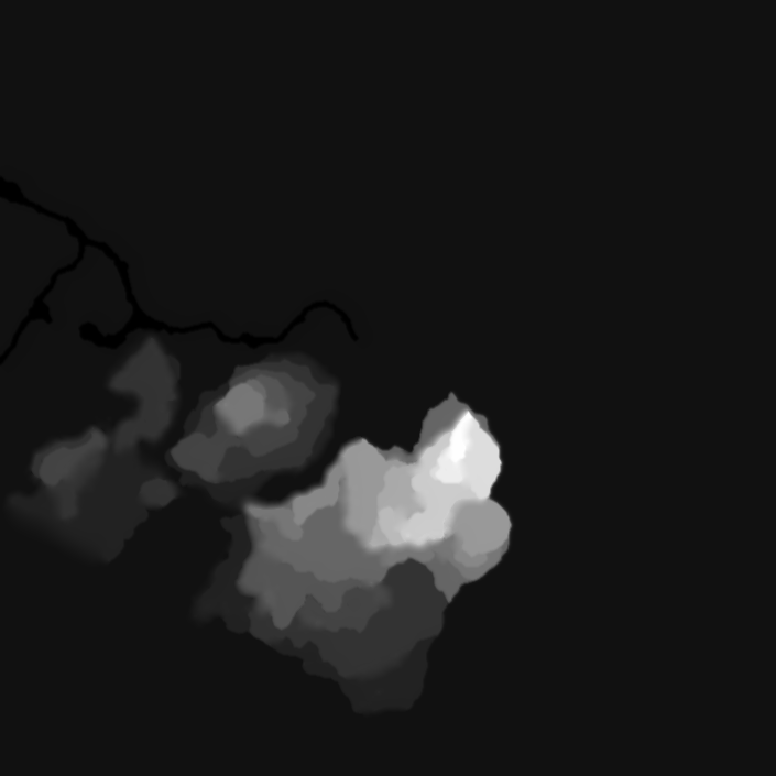
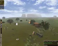
Im using rMap and Photoshop to create a new zone8 map, not a work done yet as theres tons of floating stuff still but pretty happy on how it turns out. :
Not really sure what you mean but yeah, you can export the map heightmap using rMap and then modified the heightmap using PS or any other image editing software out there, even MS Paint since heightmap is basically just a black and white image and the intensity of the black and white colour on the image determine the height of the map so it can be hard and need lots of trial and error to get just the right height. Theres also lots of software out there that you can use to sculpt your own terrain like World Machine or World Creator
Ive abandoned this project about 3 months ago after my pc broke, and have started a new one 2 weeks ago, i found a software called Zemnik thats make it way easier to make and edit a map. Ive tried using World Creator and World Machine as well but i find those software can get pretty complicated and the end result can be too detailed for an old game like RYL
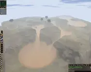
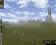
Not yet done obviously and havent tested it ingame as i yet to setup a server
 :